
LiDAR vs. Traditional Surveying: Which is Best for Your High-Rise Project?


Introduction to Surveying Methods
In the realm of construction and engineering, precise surveying is crucial, especially when it comes to ambitious projects like high-rises. Traditional surveying methods have been around for decades, providing reliable data through manual and optical tools. However, with advancements in technology, LiDAR (Light Detection and Ranging) has emerged as a powerful alternative, offering speed and accuracy. So, which method is best for your high-rise project?

Understanding Traditional Surveying
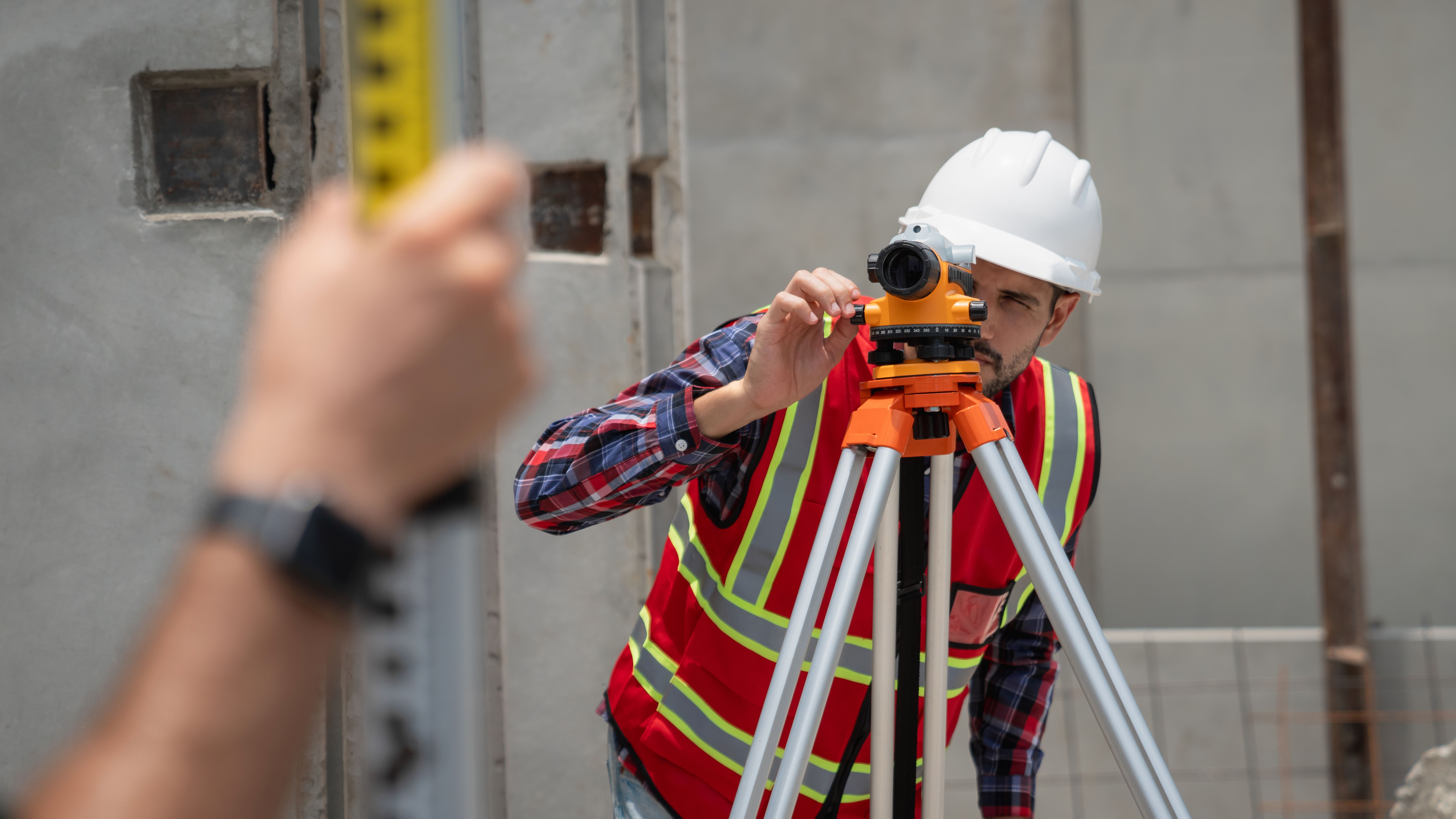
Traditional surveying involves the use of instruments such as theodolites, total stations, and leveling rods to measure angles and distances. This method is known for its accuracy, but it can be time-consuming and labor-intensive, often requiring a team of surveyors on-site.
Despite these limitations, traditional surveying has the advantage of being well-understood with a long history of use in the field. Many professionals continue to rely on it due to its reliability and the detailed hands-on approach that allows for a comprehensive understanding of the site conditions.
The Rise of LiDAR Technology
LiDAR technology uses laser beams to capture precise measurements by analyzing the reflected light. Mounted on drones or vehicles, LiDAR can rapidly cover large areas, making it particularly useful for complex environments like urban landscapes. The data collected is often more detailed than traditional methods, allowing for the creation of high-resolution 3D models.

One of the primary benefits of LiDAR is its ability to gather data quickly and efficiently. This speed translates into cost savings and shorter project timelines, which can be crucial in high-rise projects where time is often of the essence.
Accuracy and Precision: A Comparative Look
When it comes to accuracy, both traditional surveying and LiDAR have their strengths. Traditional methods are generally considered highly accurate for small-scale projects where meticulous detail is required. However, LiDAR's ability to scan large areas quickly provides a different kind of precision that is advantageous for vast or complex sites.
The decision between the two often depends on the specific needs of your project. For example, if your high-rise project is situated in a dense urban area, LiDAR might be more suitable due to its capability to navigate and map intricate environments.
Cost Implications
The cost of surveying can significantly impact your project budget. Traditional surveying typically involves more manual labor, potentially driving up costs due to labor hours. On the other hand, while LiDAR equipment can be expensive, its efficiency often leads to lower overall costs by reducing the amount of time required on-site.
Choosing the Right Method for Your Project
Ultimately, the choice between LiDAR and traditional surveying should be based on your project's specific requirements. Consider factors such as:
- The size and complexity of the site
- The level of detail needed
- Your budget constraints
- The timeline for project completion
By weighing these factors, you can make an informed decision that aligns with your project's unique demands.
Conclusion
Both LiDAR and traditional surveying offer distinct advantages and potential drawbacks. For high-rise projects, particularly those in challenging environments, LiDAR provides speed and comprehensive data collection that can be invaluable. However, traditional methods remain a trusted choice for their precision in detail-oriented tasks. Evaluating your project's needs will guide you in selecting the most appropriate surveying method to ensure success.