Expert Tips for Conducting Effective Risk Assessments in Coastal Areas


Understanding the Importance of Risk Assessments in Coastal Areas
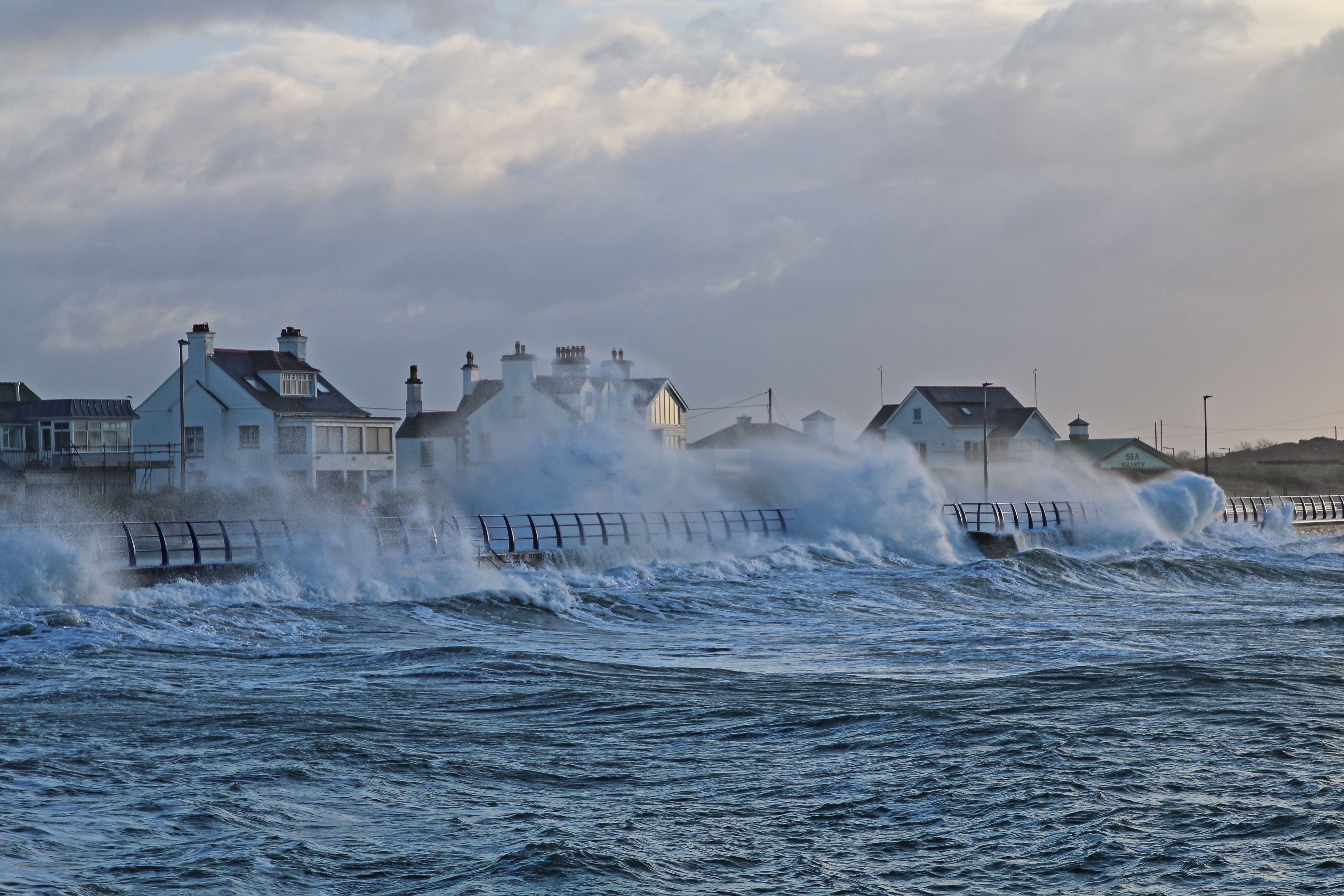
Conducting risk assessments in coastal areas is crucial due to the unique and often volatile nature of these environments. From rising sea levels to unpredictable weather patterns, coastal regions face numerous challenges that can impact both human populations and ecosystems. Understanding these risks allows for better planning and mitigation strategies, ensuring the safety and sustainability of coastal communities.
Identify and Evaluate Potential Hazards
The first step in conducting an effective risk assessment in coastal areas is to identify potential hazards. These can include natural disasters such as hurricanes, tsunamis, and coastal erosion, as well as human-induced threats like pollution and overdevelopment. Evaluating these hazards involves understanding their likelihood and potential impact on the area.
Once hazards are identified, it is important to assess their potential consequences. This involves analyzing data on past incidents and consulting with experts in fields such as climate science, geology, and urban planning. Thorough evaluation of these factors helps prioritize risks and informs decision-making processes.
Engage with Local Communities
Local communities are often the most affected by coastal risks, making their involvement in risk assessments essential. Engaging with community members provides valuable insights into historical trends and local knowledge that may not be available through other sources. Conducting interviews, surveys, and workshops can help gather this information.
In addition to gathering data, involving communities fosters a sense of ownership and responsibility towards risk management efforts. It also ensures that strategies are tailored to the specific needs and capabilities of the local population, enhancing their effectiveness and acceptance.

Utilize Advanced Technological Tools
Advancements in technology have significantly improved the ability to conduct comprehensive risk assessments in coastal areas. Tools such as Geographic Information Systems (GIS), remote sensing, and predictive modeling provide detailed insights into potential threats and vulnerabilities. These technologies allow for more precise mapping and monitoring of coastal zones.
Satellite imagery, for instance, can be used to track changes in coastline over time, while drones can capture real-time data on environmental conditions. By leveraging these tools, risk assessments become more accurate and actionable, enabling proactive measures to be implemented.

Develop and Implement Mitigation Strategies
Once risks have been identified and assessed, developing effective mitigation strategies is the next step. These strategies should be multifaceted, addressing both immediate threats and long-term sustainability. Examples include constructing sea walls, restoring natural barriers such as mangroves, and implementing zoning regulations to control development.
It is crucial that these strategies are regularly reviewed and updated to reflect changing conditions. Flexibility and adaptability are key components of successful risk management plans, ensuring they remain relevant and effective over time.
Monitor and Review Regularly
Continuous monitoring is essential to maintain the relevance of risk assessments in coastal areas. Regular reviews help identify emerging threats and assess the effectiveness of existing mitigation measures. This ongoing process enables timely adjustments to strategies, enhancing resilience against future risks.
Incorporating feedback from stakeholders, including government agencies, environmental organizations, and community members, ensures that assessments remain comprehensive and inclusive. By fostering collaboration among various parties, a more holistic approach to risk management can be achieved.